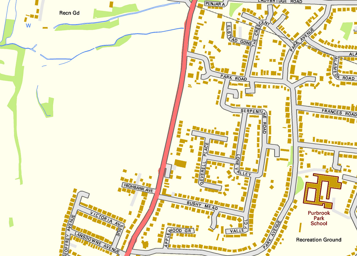
THE MAP: Contains Ordnance Survey Data © Crown copyright and database right 2011
Shows houses, roads & road names, railways, woodland and water. SEE EXAMPLE BELOW
DOWNLOAD PURCHASES ARE NOT REFUNDABLE
THE SCALE:
The scale (1:10,000) is almost equivalent to the old 6" to the mile (1:10,560) OS County Series maps
The sample shown below is part of a map at 100% size viewed in Photoshop
Click the town names below for more details