CLICK HERE TO RETURN TO THE HUNTINGDONSHIRE MAP SHOP
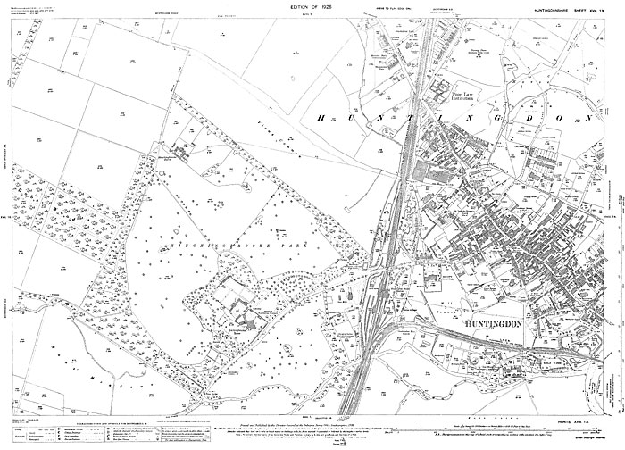
Huntingdon (W) 1926
Size: 23 x 16 inches
Scale: 14 inches to the mile
Type: complete facsimile reproduction, flat sheet
PRICE: £7.99
Showing Huntingdon Turnip Piece (Huntingdon Cricket Ground) and the Poor Law Institution in the north down to Castle Hill and the gas works in the south. St. Mary's Church on the High Street marks the eastern boundary of the map.